June 5 – June 7
We were still staying at Bonner County Fairgrounds in Sandpoint ID, and we had to move to new sites on the weekend. For 3 days we explored the area around Lake Pend Oreille – it encompassed the Ice Dam and the path of the flood waters. Truly amazing! The water that flowed from Lake Pend Oreille created a huge aquifer which provides water to Kootenai County Idaho and what is now Spokane County WA. Without the aquifer that whole area would be uninhabitable dry desert.
We headed south on SR95 and went to Farragut State Park, which is the southernmost point of Lake Pend Oreille. When the Ice Dam broke down, the water coursed thru the current path of Lake Pend Oreille and flowed out where Farragut Park now is, heading west into WA creating the Scab Lands, the Columbia River Gorge (altered by the floods), and eventually the floods reached Oregon’s Willamette Valley and the Pacific Ocean. We drove thru the Brig, which was a Navy training base during WWII. Then we drove north and stopped at Bayview Lookout. We also visited Spirit Lake and explored the area looking for some huge erratics. When we got back to the Fairgrounds, I did a walk around and took some photos. It was an impressive setup, not much going on in June, but I’m sure it can handle a large crowd when it’s fair time.
The next day we explored Sandpoint City Park looking for more erratics then drove through the Hoodoo Valley, mostly flat with smooth rolling hills created by the deposits from the Floods. We stopped at Spirit Lake and Lake Cocolalla. The depressions for the lakes again are a result of the Floods.
We drove north from the FG to visit Bonners Ferry, driving through the Purcell Trench which was created by the glaciers from BC into Idaho.. The town streets were closed because of a car show and street market so we couldn’t get to the museum. We enjoyed the drive through the beautiful valley.
In the next Travelogue we head west into WA and the Spokane area.
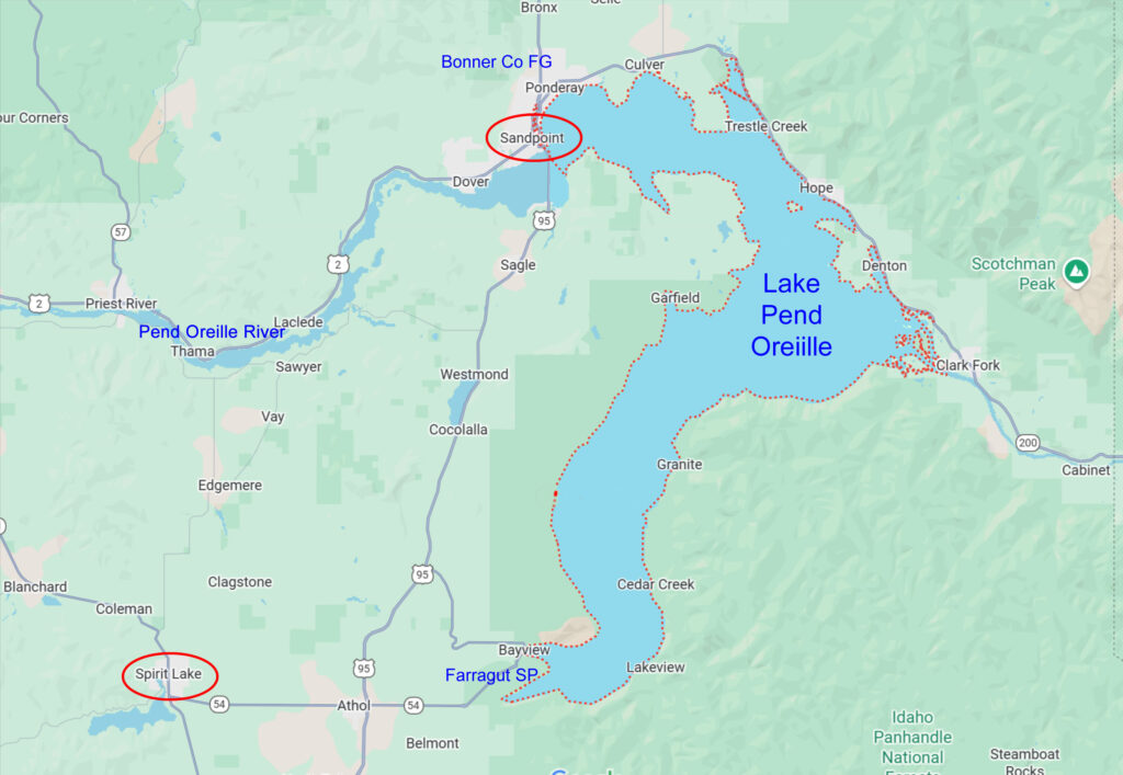
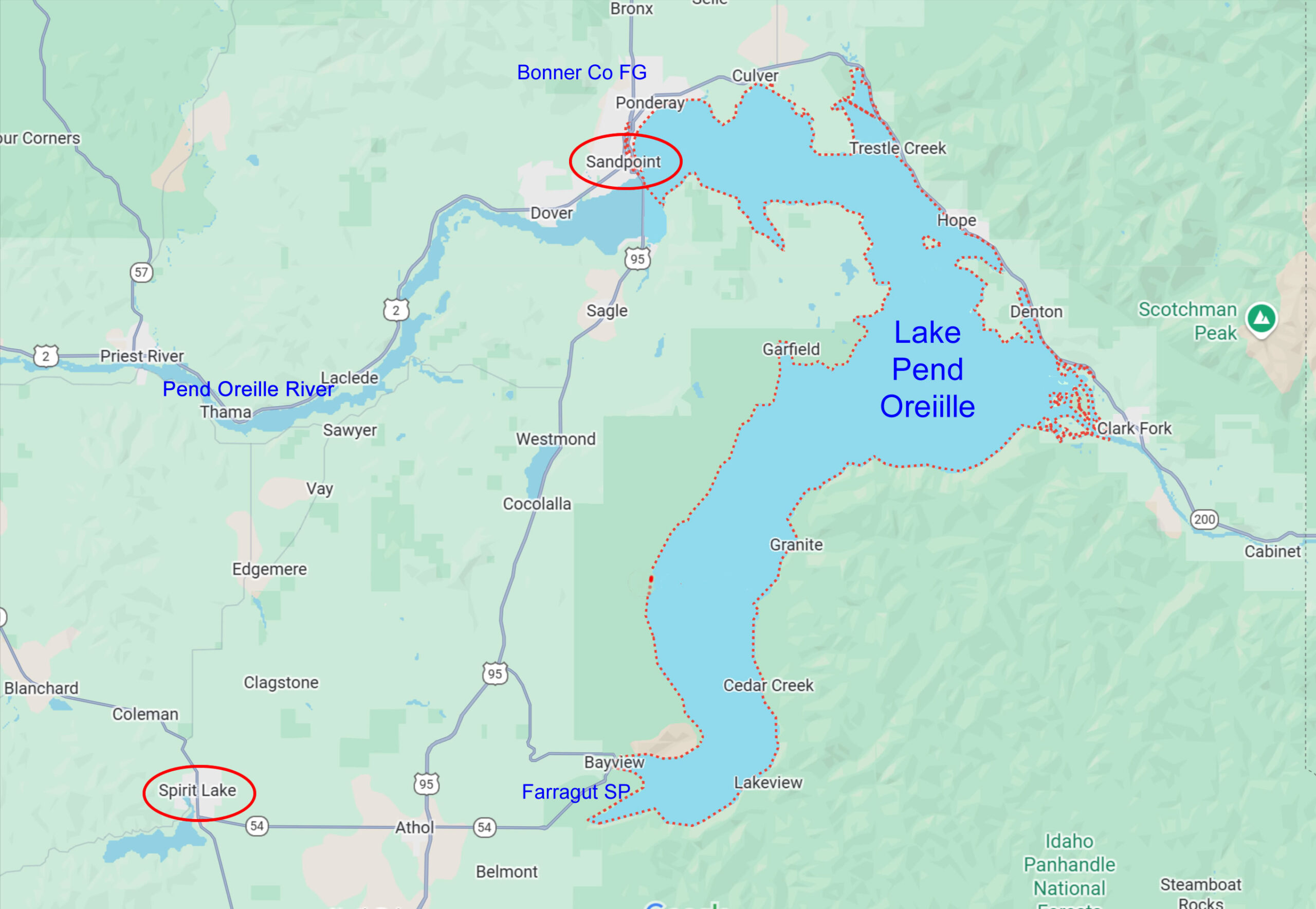
This map shows the places we visited around Lake Pend Oreille. Farragut State Park is where the flood waters started to flow, from the SW corner of the lake. Click to enlarge.

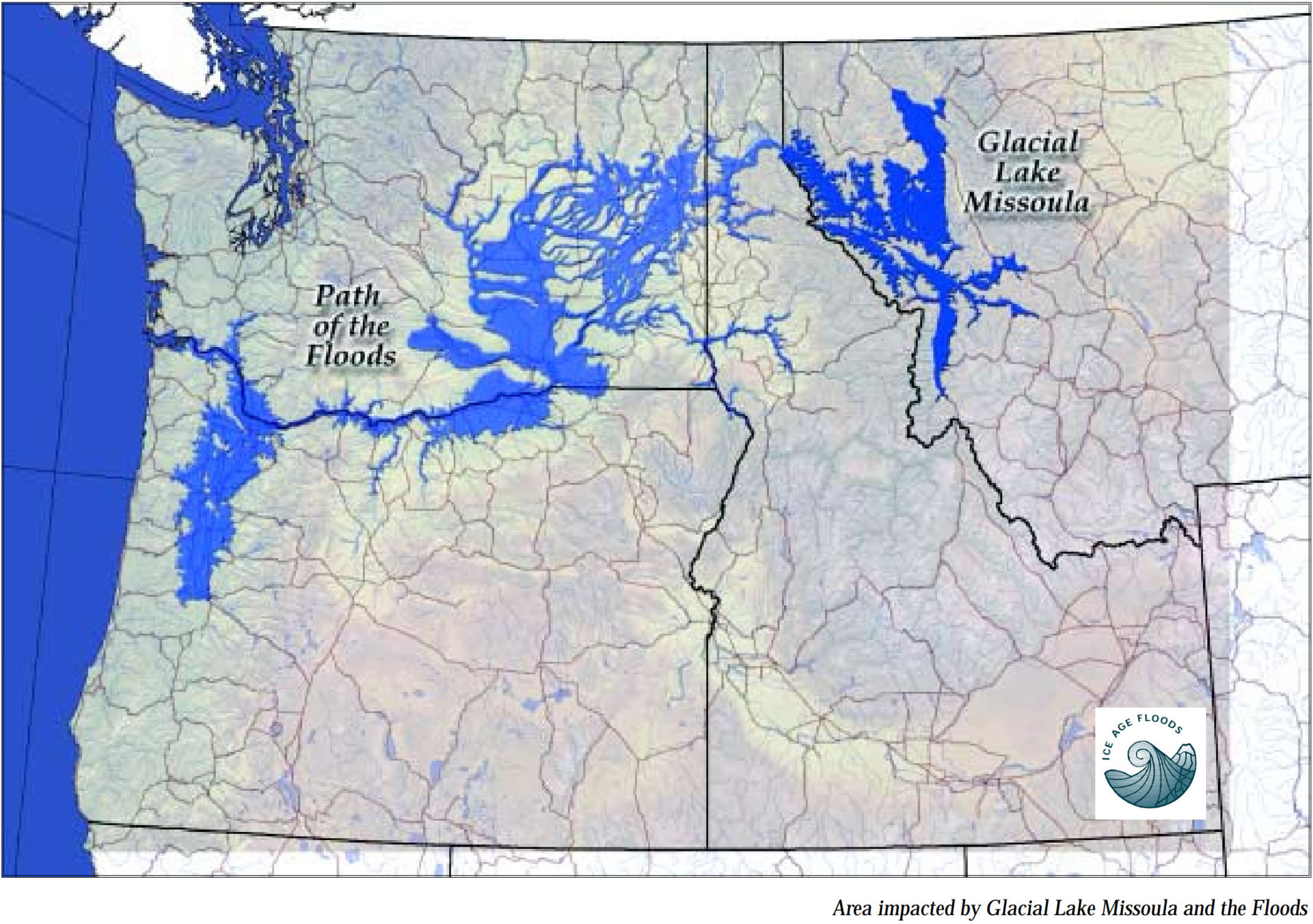
This map shows the full area of the Ice Age Floods – the blue areas show the source (Glacial Lake Missoula) and the path the floods took across Idaho, Washington, and Oregon. Click to enlarge.


