February 9th – 11th
On Feb. 9th I left Deming NM and headed toward Texas. I followed US 10 east to Las Cruces, stocked up on gas and groceries, and then continued south into Texas. The first photo below is one of a hot-air balloon craft near Marfa AAF Airfield. I stopped overnight in Van Horn, then headed south on US90 and SR118 to Study Butte, a very small town just west of Big Bend NP. There were no available camping spots available in BB, I just hadn’t been sure what dates I would arrive. Got to the RV park close to sunset, got parked and leveled, and walked around a bit. There was a memorial area right next to where I was parked (with a few skeletons!) where people had put memorials for their animals and people.
The RV park was just a few miles from the western entrance to Big Bend. Big Bend NP covers 801,163 acres, 1,252 square miles! It’s HUGE! So on the first day, I drove into the middle of Big Bend to the Visitor Center. When I was last in Big Bend, in 2014, I was driving my Toyota Motor Home and was not able to take any side roads (required high clearance and 4WD). That experience was what made me switch to my truck and trailer in 2017, both were high clearance and the truck is 4WD. So the first thing I wanted to do was take one of those side roads! The trailer was parked at the RV park, so it was just the truck and me. I drove down Grapevine Hills Rd, beautiful scenery with lots of rock formations and hills and valleys. Got to the end of the road and walked part way up the hill to look around.
Got back to the RV park around sunset.
Here are some maps of Big Bend NP to help you follow my stories.
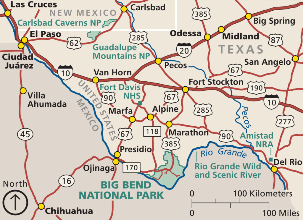
Open in new tab to enlarge
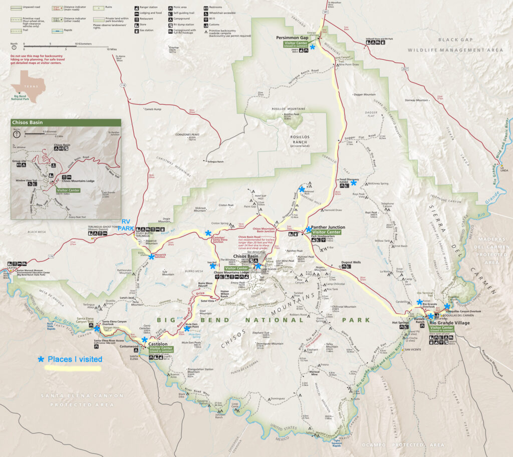
Open in new tab to enlarge
Open in new tab to enlarge
My first visit to Big Bend was in 2014, a shorter visit. Check it out HERE. Start at the 10th photo, Noah’s Ark in miniature.
Hover over any photo (below) to see the caption. Click on any photo below and you can scroll back and forth thru them. Use the arrows at the bottom of each photo.


